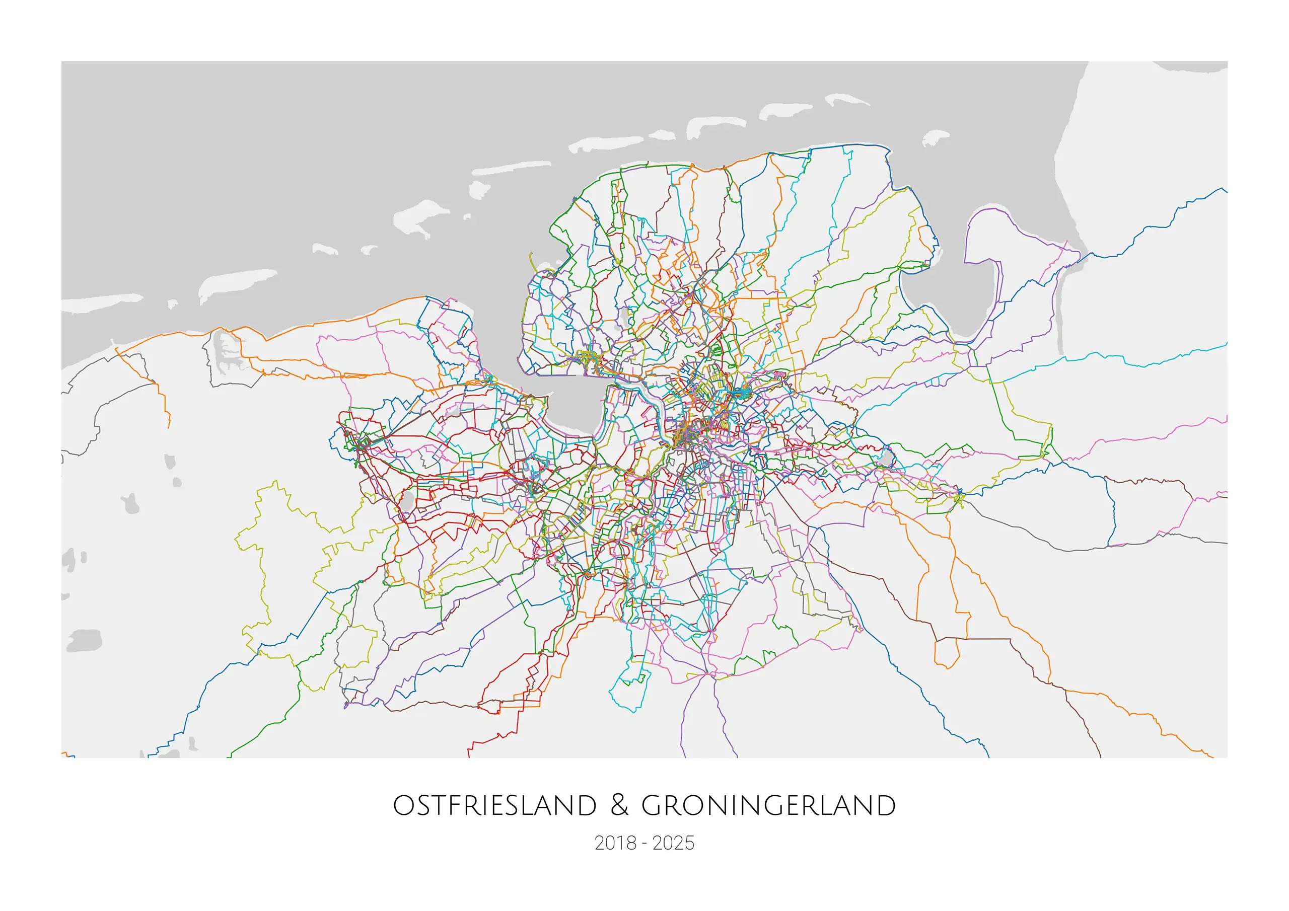
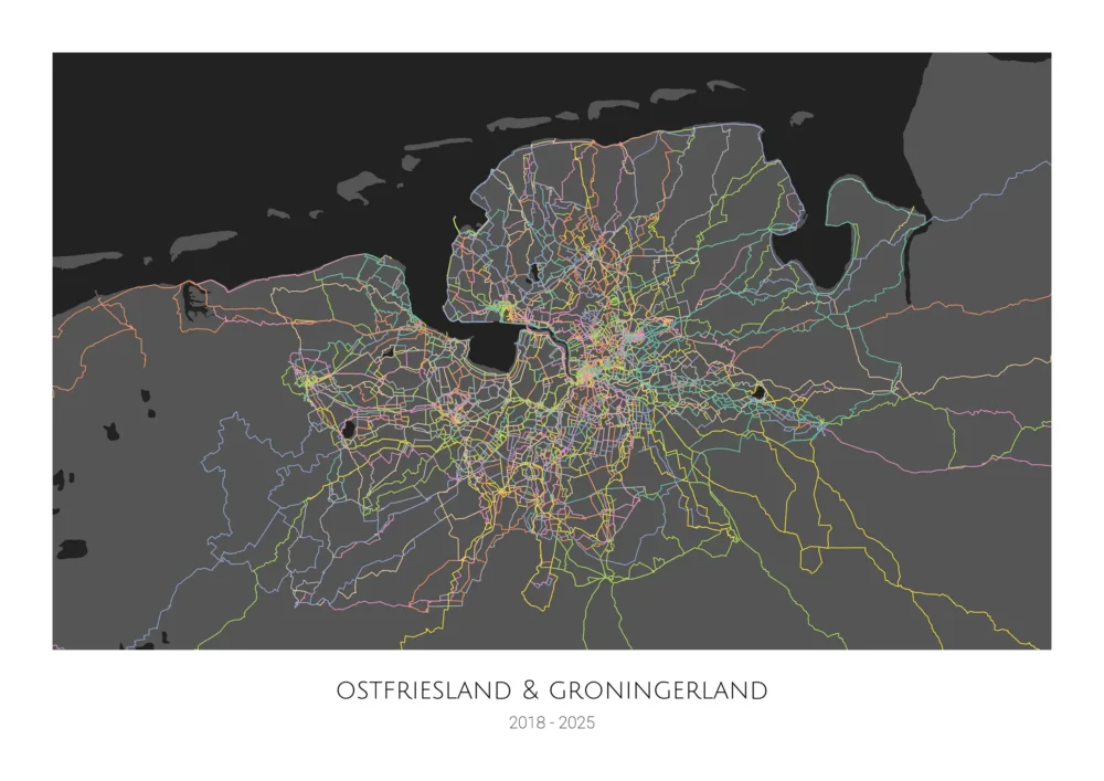
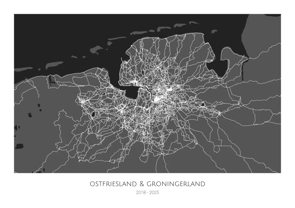
Tire Prints – A Map of your Bike Rides
How to get your map:
- Please fill out the form linked below and I’ll get in touch to align the map creation and file input details.
- Tire Prints can handle FIT, GPX, and TCX files. Your files should be transferred in a zipped archive. to save space and traffic. If you have a Strava account you can use you their bulk export to create the archive.
- The software uses a filter to identify and import the bike rides. The map could also display your runs, canoe trips, or anything else you’ve tracked.
- You can specify the relevant area of the map by providing the coordinates (longitude and latitude) of the lower left and the upper right corner. This “clipping” also determines the orientation (landscape or portrait) of your map.
Options and customization:
- Choose between a “light” and “dark” color-theme.
- The most popular poster sizes are pre-configured and the map can be created in any size you want.
- Title and subtitle are optional.
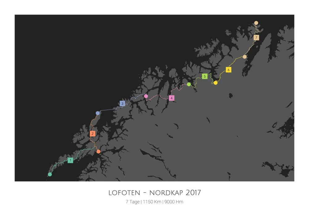
- The map can also be created with a selected group of rides only. For this type of map a stage number can pe put onto each ride. This will turn a bikepacking holiday, a stage race, or a training camp into long lasting memories.
The output:
- A PNG graphics file in the selected size (e.g. 40×30, A3, A2).
- The file will be created in RGB mode with a resolution of 300 dpi.
- A print bleed can be added if required by your print company.
Price:
49,95 EUR (incl. VAT)


